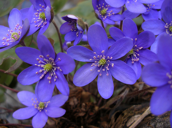
 Foto: Söderåsens nationalpark
Current information
In the fall of 2024, we were forced to remove the long staircase from the visitor centre to the yellow/orange/red trail, after it was deemed worn out and potentially dangerous in an inspection. In connection with this, a diversion of the trail was made via the southern part of Kopparhattsvägen, which makes the current trails about 1.2 km longer, but somewhat more accessible for people with reduced mobility as the diversion runs on more or less completely flat ground.
The slope where the previous staircase was located is closed, both because it is very steep with a high risk of personal injury, but also because walking on the steep slope entails a high risk of erosion.
The plan is to replace the staircase, but as there is currently a lack of full funding, the National Park Administration is investigating both the possibilities of replacing the staircase within the existing budget, and of rerouting the trail to reduce the need for stairs.
In the meantime, everyone is urged to stick to the diversion, to avoid a number of small paths with increased wear and tear and the risk of erosion.
Path detour - due to removing the "long staircase"...
The Skåneleden-trail, Kopparhatts-trail and Liakroks-trail will temporarily have a different path lenght, of approximately 1.2 km, as there are no more stairs.

För Skåneleden (orange)
It is possible to enter the rift valley and continue towards Klåveröd.
Follow the yellow markings until Skåneleden-orange comes down from Offavägen, then follow the Skåneleden markings.
Unfortunately, you will miss the view from Kopparhatten.
If you would like to see the view, go up Offavägen towards Kopparhatten and then go back down into the valley, (the same way you came).
Or follow bypass signage...
For Kopparhatten-trail (yellow)
It is possible to go into the rift valley and further up towards Kopparhatten. On your way back towards Skäralid, you will need to follow the posted signs to get back to the starting point and the parking area in Skäralid.
For Liakroks-trail (red)
The starting point used to be above the stairs.
Now, instead you will have to go up Kopparhattsvägen-road (approximately 800 m), then turn left into the forest and wald another 400 m to the first red marker.
It's a crossroads, choose to go right and go round counterclockwise, or go straight ahead and get the trail clockwise,
If you have any questions - please do not hesitate to contact management office att
With the changing weather it is either, muddy, wet or slippery on the hiking paths. - Please take care. Use boots when hiking
All trails are open but our board walks are old and not in a very good condition. Please walk with care.
Dangerous trees are always a priority.
If you see a hanging, leaning or fallen tree on any of the marked hiking paths, please let us know by sending and e-mail to soderasen@lansstyrelsen.se
Thank you!
Welcome to Söderåsen national park!
Share with your friends
Share this page with your friends on Facebook, X (formerly Twitter), Google+ and e-mail.


